The Volcanic Landscapes of Western Oregon and Washington
The northwest coast of America was formed over what, to geologists used to thinking in 10 million year increments, was an incredibly brief and incredibly active period in the recent geological past by the movement of the Juan de Fuca oceanic plate beneath the continental North Americanplate, a movement that produced the vast amounts of andesitic volcanic material that now covers western Washington and Oregon and provide the rich soils that foster the fruit and wine growing regions along the Willamette and Columbia River Valleys. Combine these events with a major eruption of Miocene flood basalts and  catastrophic Pleistocene erosion and you have some of the most spectacular scenery and some of the best spots for the study of volcanic processes in the USA. We urge you to tour of these world-class sites and here provide some guidance to what to see and what it means geologically.
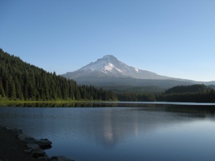
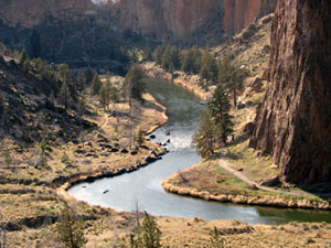
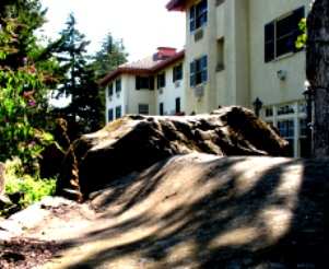
Start with Mt St Helens, then tour the spectacular scenery of the Columbia Gorge, carved out by periodic glacial outburst floods. Travel up the slopes of Mt Hood through the Hood River valley, visit Timberline Lodge, then move east and down into the high desert. See the spectacular Newberry volcano and the intracanyon flows of the Crooked River. Try your hand at climbing on Smith Rock. The John Day fossil beds are distant, but well worth the time. See Picture Gorge and the Blue Mountains on the same visit. Don't forget to stop at the Columbia Gorge Hotel where erosional remnants of the powerful Missoula floods are on display on high bluffs overlooking the Columbia.
Finally, the volcanic soils and the climate with cool nights and hot summer days make some of the best wine growing conditions in the world. Take the time out to sample a series of the wineries in the Columbia and the Willamette Valleys.
 |
 |
 |
