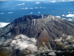
St Helens: The Landscape and Deposits of the 1980 Eruption
The 1980 eruption of Mt St Helens was one of the most significant geological events in the modern history of the U.S., comparable to the New Madrid earthquakes in influence on our thinking about geological hazards. Relatively mild by comparison to eruptions like Krakatoa, its significance for us is that it was anticipated and therefore widely observed.
Furthermore the site is widely accessible and has been extensively studied by many researchers in the time since the eruption, especially from the U.S. Geological Survey group at the Cascades Volcano Observatory. Today, St Helens provides us with a unique laboratory to study volcano processes. 
These include the initial landslide and the resulting debris avalanche, the lateral blast from the release of volcanic gasses by the landslide, lithic-rich early morning lahars in the southern drainages, ash flows in the middle of the day, pumice-rich afternoon lahars, and the late afternoon big lahar in the north fork of the Toutle River.
There were 57 immediate fatalities on the mountain, over 200 homes were destroyed, and 230 square miles of timber were leveled. The North Fork lahar destroyed every bridge it encountered until it reached the base of the mountain, where it flowed from the Toutle into the Cowlitz River, then into the Columbia, where it raised the river bed by as much as 40 feet, trapping many ocean-going vessels that were docked up stream. Farther afield, the ash from the eruption, blanketed much of eastern Washington, disrupting lives and livelihoods for many.
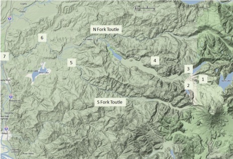
Stop Locations

