Maps
1869 Map of CliftonShows the canal and two feeder ponds, Mummert's and Blair's |
 |
|---|---|
| 1902 USGS topographic map 15 minute |  |
| 1912 City of Cincinnati topographic map, with Blair's Pond in center. Note feeder canal. |  |
| 1914 USGS 15' topographic map |  |
| Map of the canal and its ponds as they would have been in the 1900-1915 period. From "Playmates of the Towpath" by Charles Ludwig 1929 | 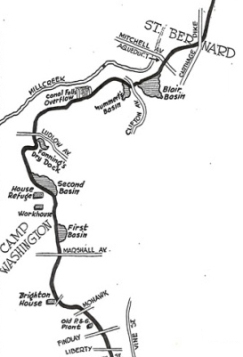 |
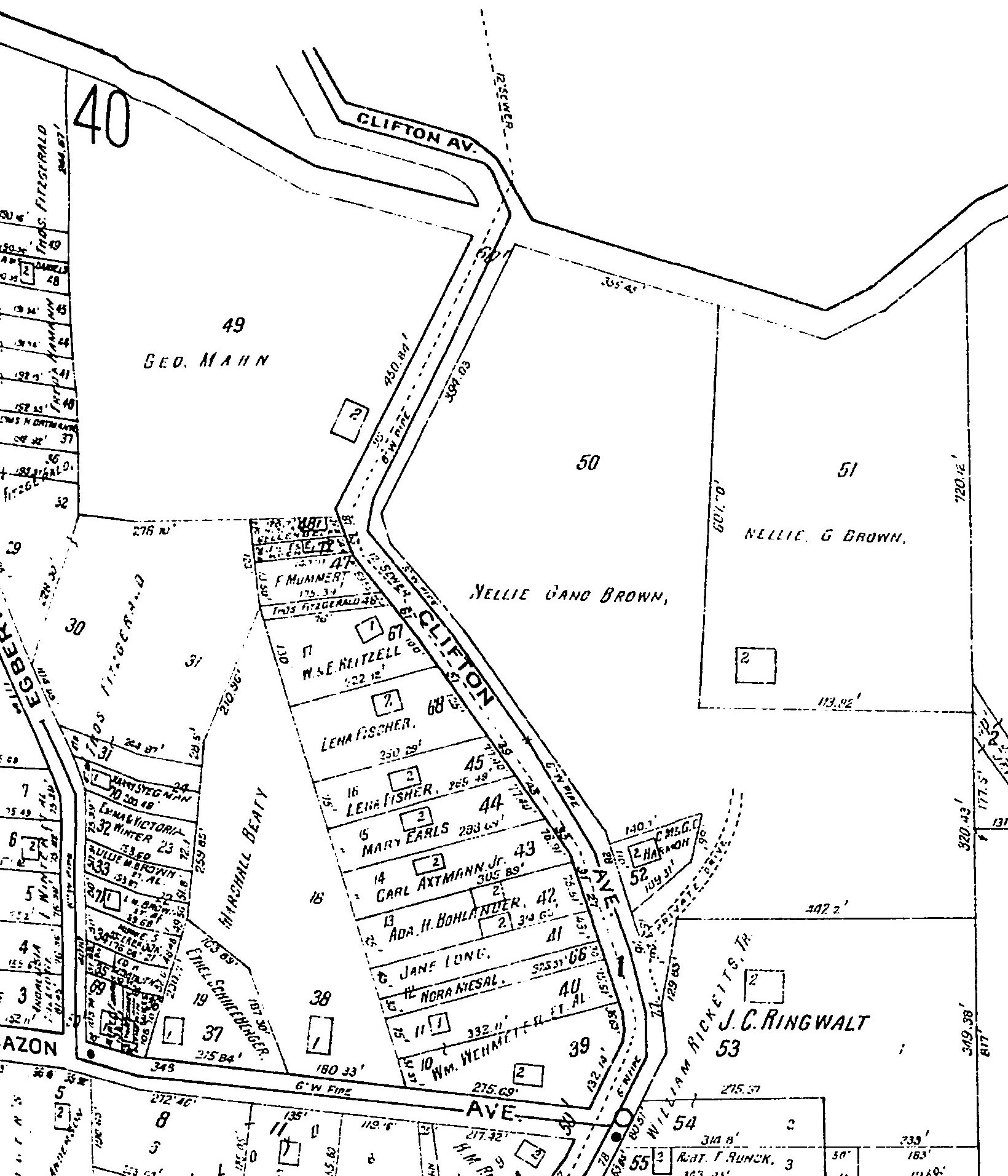
Sanbourne fire insurance map 1922http://dmc.ohiolink.edu.proxy.oplin.org/oplinmap.htm Shows old alignment of Clifton Ave |
 |
Sanbourne fire insurance map 1937http://dmc.ohiolink.edu.proxy.oplin.org/oplinmap.htm Shows new alignment of Clifton Ave |
 |
CAGIS topography 2010With property boundaries. Note old Clifton Ave alignment can be seen as well as some of the route of the canal |
 |
CAGIS property lines 2010 |
 |
CAGIS streets 2010 |
|
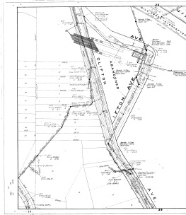
Sewer alignment 1912-13. subsequently revised (large tif file) |
|